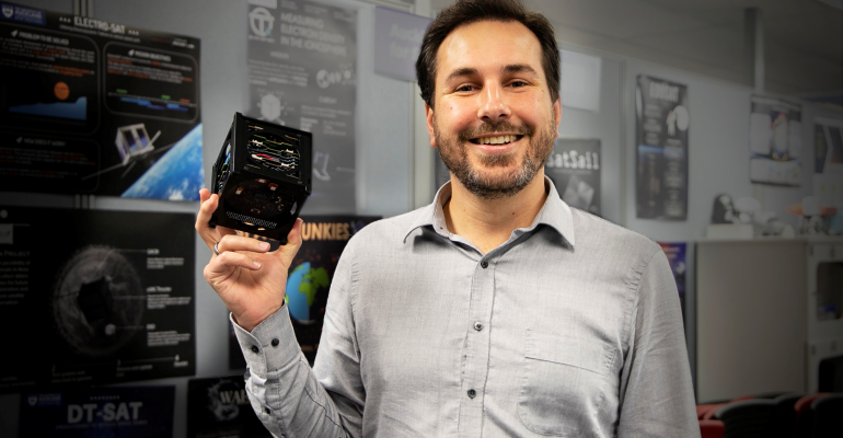
Dr John Cater
Origami in the sky
New Zealand is small, but we control an enormous stretch of ocean that’s around 15 times bigger – more than 4 million square kilometres.
How can we keep eyes on all that water?
Our exclusive economic zone stretches from the outer limits of our territorial seas a further 200 nautical miles all around our land mass, giving us sovereign rights over the sea and seabed, and everything within. It is an economic treasure trove, but it’s hard to police and easy to poach from.
One answer might be eyes in the sky – an overhead monitoring capability. But satellites cost big bucks to build, launch, maintain and manage and we would need a lot of them. Accurate readings require multiple correlated hits on targets from various angles; and the eyes can only see when those orbiting satellites are passing directly overhead.
SfTI researcher Dr John Cater of the University of Auckland thinks the solution could be a cluster of cost-effectively deployed, very small satellites, each continuously transmitting radar imagery of the waters around New Zealand.
John is part of the University’s Auckland Programme for Space Systems, which is enabling students from all disciplines to build small nanosatellites, known as CubeSats and launch them into low earth orbit. CubeSats are typically around 10cm square, weighing around 1.5 kgs. They are bolted onto rockets and fired into low earth orbit where they detach and spring open revealing the antennae, cameras and other technological payload the student has chosen to deploy. The tiny technology has developed out of the gaming and cell phone industries.
The tiny technology has developed out of the gaming and cell phone industries.
John and his team are working on a cost-effective orbital solution, that would allow New Zealand to watch its waters via a miniaturised radar system on board nanosatellites, cheaply launched into low earth orbit.
“A radar system like that could be reporting back on what’s in New Zealand’s waters five times a day. Anything that’s unidentified, like a blob that could be a foreign fishing vessel, could be monitored all the way back to its next port for identification; or in the case of a search and rescue emergency, information could be relayed to the Rescue Coordination Centre and an RNZAF Orion could be sent out in support.”
The research is aiming to use CubeSats to house radar that can detect the length and height of objects on the surface – technology that could also be used to monitor wave heights as an early warning Tsunami system and report on deep sea volcanic activity. The team’s work on the miniature antennae design is unique in the world.
“These aren’t your typical antennae. They need to be around 10 percent of the usual size, and we’ve been working through a range of different shape options that fold out once the CubeSat opens – spirals, cups, umbrellas . . . it’s like origami in the sky.”
“Spirals, cups, umbrellas... it's like origami in the sky.”
John says the team are close to settling the final antennae shape, which will be combined with a lightweight array deployment system and intelligent embedded systems for optimising the limited available power and transmission bandwidth.
“The data we get would have a lot of uses, it would help to monitor New Zealand’s exclusive economic zone, and sea-level data would inform climate models to help us understand how the earth’s changing climate will affect our primary industries and infrastructure in the long term.”
“There’s a lot of engineering to do yet, but I’m confident we’ll be able to achieve the prototype.”
There will also be a few other types of hurdles.
“We’d need permission from the Space Agency, a licence to broadcast, vacuum chamber testing facilities, and approved orbital debris mitigations for a start . . .”
Image courtesy: Geniesa Tay